Emergency Support during Disasters (Drones)
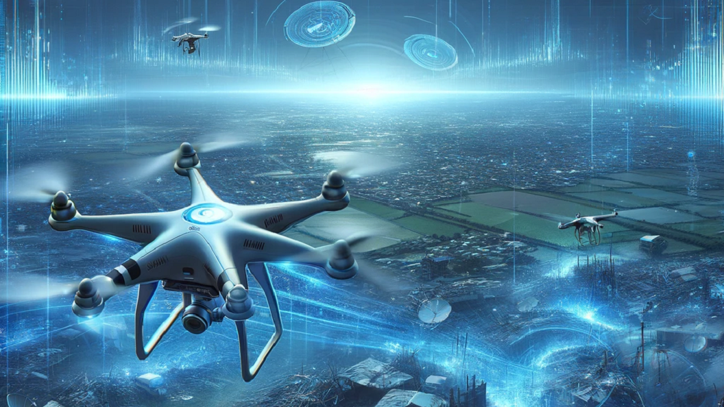
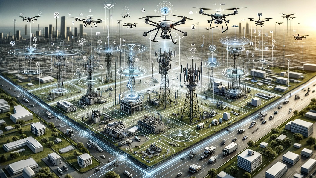
Drones equipped with video cameras can play a crucial role in disaster management by providing valuable real-time information and assisting in various aspects of emergency response. Here are some ways drones can help in disaster management:
-
Damage Assessment: Drones can quickly survey disaster-stricken areas and capture high-resolution aerial images or videos, allowing emergency responders to assess the extent of damage to buildings, infrastructure, and the environment. This information helps in planning rescue operations and allocating resources effectively.
-
Search and Rescue Operations: Drones equipped with video cameras can cover large areas quickly, providing aerial views and live video feeds to emergency personnel. This aids in locating survivors, identifying potential hazards, and guiding rescue teams to the affected areas. Thermal cameras on drones can also detect body heat, helping locate people in distress, especially in situations like earthquakes or avalanches.
-
Damage Documentation: Drones can capture high-resolution imagery or videos that document the extent of damage caused by a disaster. This documentation is valuable for insurance claims, assessing the need for reconstruction, and supporting future urban planning efforts.
-
Hazard Monitoring: Drones can be deployed to monitor hazardous situations such as flooding, wildfires, or chemical leaks. By capturing aerial footage, they provide real-time information on the progression and spread of these hazards, enabling authorities to take timely preventive measures and warn affected communities.
Infrastructure Inspection: After a disaster, drones can be used to inspect critical infrastructure like bridges, power lines, or pipelines for any structural damage. They can reach areas that are difficult or dangerous for humans to access, ensuring a thorough assessment of the infrastructure’s condition.


